
Living on light
Received a package last night consisting of a random assortment of ThinkGeek products
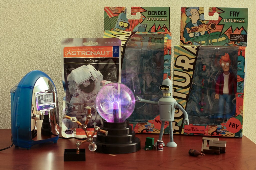
Thanks Mike!
Situated about half an hours drive south of Tuscon is the Titan Missile Museum. “The only publicly accessible Titan II missile site in the nation.”

All of the other Titan II missile silos have been decommissioned and demolished. Leaving only this site as a historical landmark.

The one hour tour doesn’t really give you much time underground. You only get to see the Launch control room and the second level of the missile silo. However, there are much more in depth tours available. So maybe next time…
At the Pima Air & Space Museum you can take a bus tour of the nearby 309th Aerospace Maintenance and Regeneration Group (AMARG) facility. Which is more commonly referred to as the “Boneyard”. Although they somewhat dislike that term.

This is because AMARG focuses on the preservation and restoration of aircraft. Either storing them for future use, reclaiming parts, or selling them off.

While Tuscon’s climate and landscape are nearly ideal for the storage of aircraft. Some preparation work is still needed. This includes the removal of delicate and/or sensitive equipment, draining of all fluids, and a final spray on application of an opaque white latex like substance.
For more information see: Wikipedia
or check it out on Google maps
Painted on the side of an older aircraft at the Pima Air & Space museum. Too bad I didn’t note down which aircraft it was. But I can tell you it was dark green.
Another wide angle shot of the Hoover Dam.

When completed in 1936, it was both the world’s largest hydroelectric power generating station and the world’s largest concrete structure. … It is currently the world’s 38th-largest hydroelectric generating station. – Wikipedia
Situated in the Colorado river and spanning the border between Arizona and Nevada you can find the Hoover Dam.
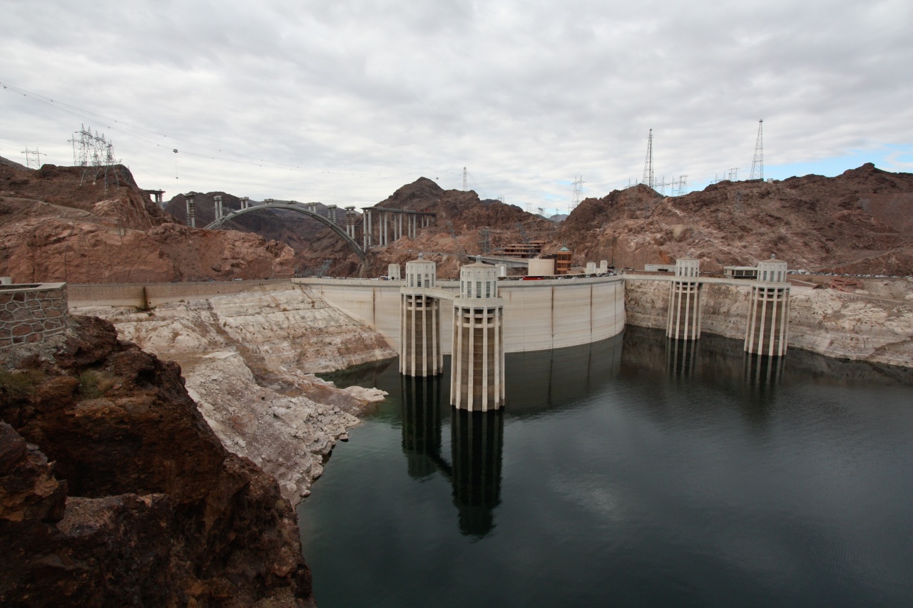
The Hoover Dam is one of the main border crossings between the two states. At least until they finish building the Colorado River Bridge and the remainder of the Hoover Dam bypass. Which is scheduled for the end of this year (2010).
Devils golf course is one of the many points of interest in the Death Valley National Park.

Devil’s Golf Course: Immense area of rock salt eroded by wind and rain into jagged spires. So incredibly serrated that “only the devil could play golf on such rough links.”
– Death Valley Visitor Guide 2007
Key word in that quote being immense. This park is huge. In fact have another quote:
Death Valley National Park has 3.4 million acres of desert and mountains, making it the largest national park in the contiguous United States.
– Death Valley Visitor Guide 2007
Like I said. Huge.

If you brave the deadly serrated edges and wander out past the worn 90% of tourists make it this far formations surrounding the car park. You can enjoy much sharper edges, and more closely inspect the many interesting geometric patterns that have naturally formed.

Problem with photos of snow is that they tend to turn out very blue. Which requires a lot of post editing correction. Fortunately I can then just shrink it down, ignore all the other artifacts, and pretend that the photo is now perfect 😉
Turns out that not only does it actually snow in the Grand Canyon. It really snows.

Looking from the south rim; the other side has completely vanished in a white haze. Which isn’t that surprising given that you couldn’t even see the bottom.

Lessons learnt: